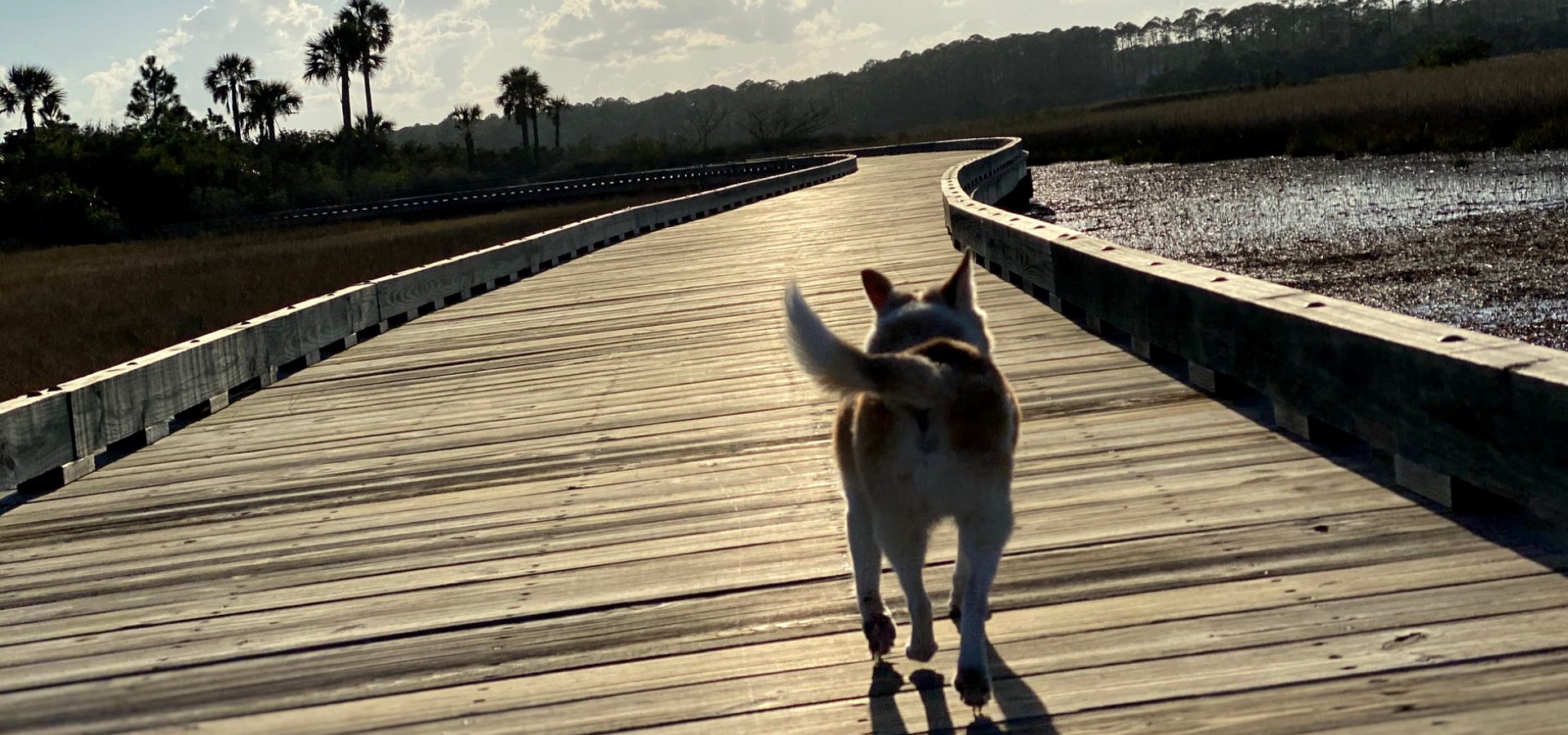
The First Coast beaches, Amelia Island to Matanzas.
From Fort Clinch at the Georgia line to Matanzas Inlet, this is the local guide: each beach town in order, the wildlife, the rules, the history, and what owning near the sand involves.

By Krista Fracke — Broker Associate, Christie's International Real Estate First Coast · 20+ years in Northeast Florida · 500+ closings · client reviews
Looking for a home on the sand?
Oceanfront homes and condos across Northeast Florida, beach by beach →
The beach towns, north to south
I’m Krista Fracke. Each of these beaches has its own town, its own rules and its own feel, so this is the order I walk people through them, starting at the Georgia line.
1.Amelia Island and Fernandina Beach
An island beach from Fort Clinch at the north tip down to Nassau Sound, with the city’s Main Beach, the resort stretch and American Beach between them.
Amelia Island →Amelia beaches, north to south →Oceanfront on Amelia →American Beach →
2.The Talbot Islands and Mayport
State-park beaches between Nassau Sound and the St. Johns River, then the ferry across to the fishing village of Mayport.
3.Atlantic Beach and Neptune Beach
Quieter beach towns that meet at the Beaches Town Center, with houses close to the sand.
Atlantic Beach →Neptune Beach →Oceanfront houses at the Beaches →
4.Jacksonville Beach
The busiest of the three beach cities, with the pier and the coast’s deepest run of oceanfront condo buildings.
Jacksonville Beach →Oceanfront condos →The beaches’ history →
5.Ponte Vedra Beach
Estate frontage along Ponte Vedra Boulevard, a handful of oceanfront condo buildings, and the Guana reserve’s open beach to the south.
6.Vilano Beach
The A1A strip north of the St. Augustine Inlet, across the bridge from the old city.
7.St. Augustine Beach and Anastasia Island
Condo-led oceanfront along A1A Beach Boulevard, beside the state park’s protected beach.
8.Crescent Beach to Matanzas Inlet
The quiet south end of St. Johns County, ending at Fort Matanzas and the inlet.
9.Flagler County
South of the inlet: Marineland, Palm Coast and Flagler Beach.
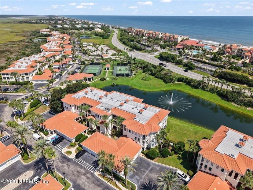
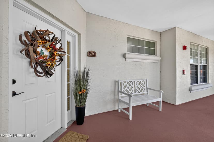
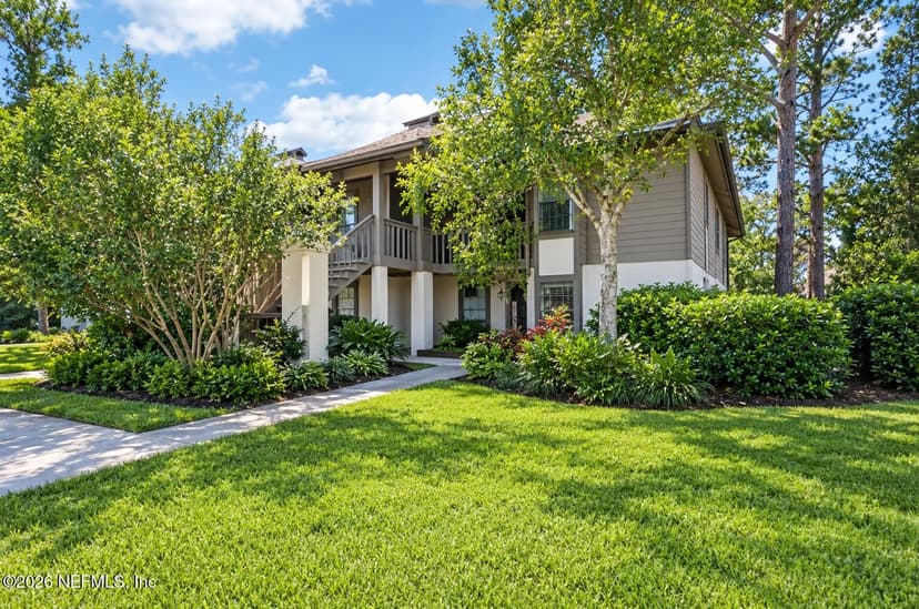
On the sand now
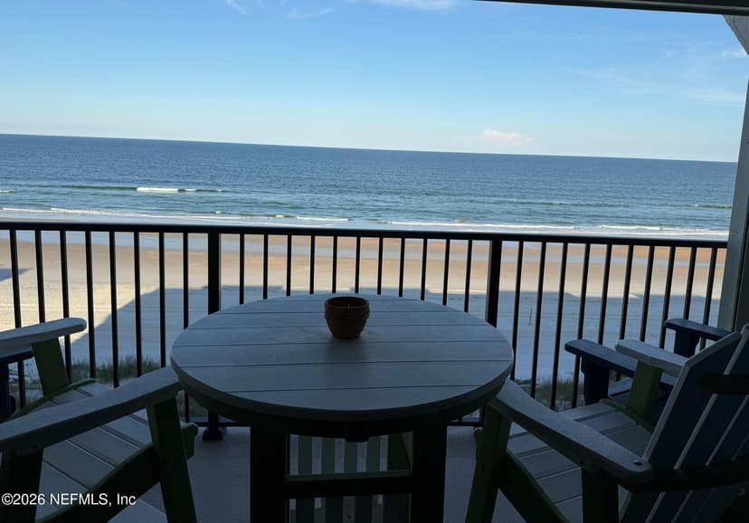
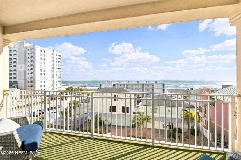
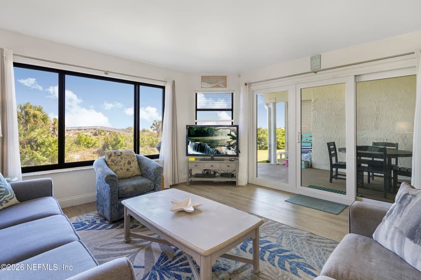
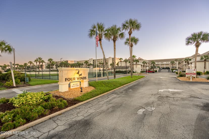
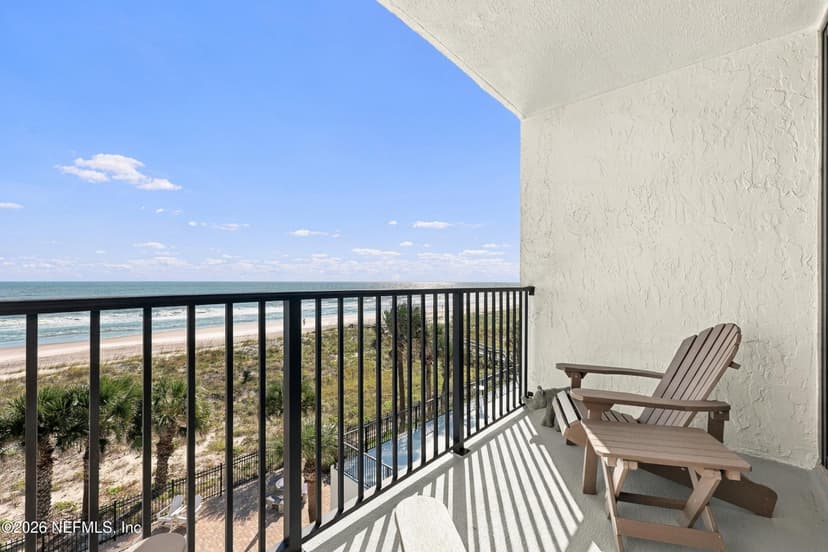
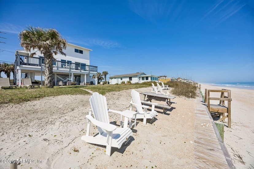
The newest oceanfront listings from Amelia Island to Matanzas.
Sea life and beachcombing
Who else uses this beach
Sea turtles, May 1 to October 31
Loggerheads, greens and a few leatherbacks nest from Amelia Island to Matanzas. Fill holes, take your gear home at night and keep lights off the sand.
Nests and rules, town by town →Right whales, mid-November to mid-April
This coast is their calving ground. In March 2026 a mother and calf were seen about a quarter mile off Crescent Beach. Federal law keeps every vessel, surfboard, kayak and paddleboard 500 yards away.
Whales, dolphins and manatees, month by month →Dolphins, all year
Bottlenose dolphins work the surf, the inlets and the Intracoastal. Feeding or harassing them is illegal under the Marine Mammal Protection Act; NOAA asks for 50 yards.
Where to see them, and the rules →Shells and shark teeth
Empty shells and fossil shark teeth are yours on the open beaches. State parks allow them below the dunes; Fort Matanzas allows neither.
What you can keep, beach by beach →Using the beach
Every public beach access, mapped →
Parking, fees, drive-on ramps and hours.
Beach rules, town by town →
Alcohol, fires, tents, drones, weddings and the warning flags.
The Mayport ferry →
Hours, fares and the drive around when it is closed.
Dog-friendly beaches →
Where dogs are allowed on the sand, and when.
Beach water quality →
The state’s sampling results, beach by beach.
Surfing and water sports →
Pier zones, kiteboarding and rip currents.
Fishing the First Coast →
Piers, surf, inlets and the licenses.
Kayak and paddleboard launches →
Every public hand launch, mapped.
The history of this coast
North to south along A1A: the railroad that built the Jacksonville beaches, a U-boat landing at Ponte Vedra Beach in 1942, and Amelia Island’s American Beach.
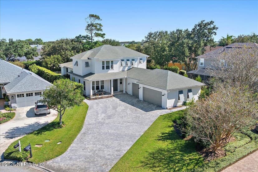
Homes for sale in Ponte Vedra Beach
From the Duval line south to the Guana reserve.
The part nobody tells you: the flags are not printed in the law
Florida requires a uniform beach warning flag program, and people assume the statute spells out what each color means. It does not list the colors. Trust the flag key posted at the beach, and look at the National Weather Service beach forecast for the day’s rip current risk before anyone swims.
Owning near the sand: dunes and storms
These guides cover what owning near the sand costs, the coastal construction permits, and the storm record, town by town. They come last here on purpose: the beach is why people move here, and the homework is what makes it a good buy.
The dune in front of your house →
Sea oats, walkovers, sand fences and who issues the permits.
Beach renourishment →
Which stretches get new sand, when, and the erosion control line.
What oceanfront costs to own →
Insurance, flood zones and the dune.
Building on the ocean: Ponte Vedra Beach →
The coastal construction line and permits.
Building on the ocean: St. Augustine →
The same rules, south of the inlet.
Ponte Vedra Beach hurricane risk →
The storm record and what it means for a house.
St. Augustine hurricane history →
The storm record south of the inlet.
Jacksonville hurricane history →
The storm record for Duval County.
St. Johns County flood zones →
The zone mix of current listings, live.
This is the work I do every week. Tell me which beach you keep going back to. I'll send the homes within a short walk of its access, and what each one costs to own.
Work with Krista (904) 709-7917 TextSave contact
By texting Krista you agree to receive conversational SMS text messages from Krista Fracke about your home search or sale. Message frequency varies. Message and data rates may apply. Reply STOP to unsubscribe, HELP for help. Terms: www.kristafracke.com/terms. Privacy: www.kristafracke.com/privacy.
Broker Associate · Christie's International Real Estate First Coast · 20+ years · 500+ closings
Common questions
What are the beaches near Jacksonville, north to south?
Amelia Island and Fernandina Beach, the Talbot Islands state parks, Mayport across the St. Johns River ferry, Atlantic Beach, Neptune Beach, Jacksonville Beach, Ponte Vedra Beach and the Guana reserve, Vilano Beach, St. Augustine Beach and Anastasia Island, Crescent Beach and Matanzas Inlet, then Flagler County to the south.
Can you drive on the beach near Jacksonville?
In some places. St. Johns County, Huguenot Memorial Park in Jacksonville and set zones on Amelia Island allow it under their own rules, and Florida law bans beach driving everywhere a local government did not keep it. The beach access guide maps every drive-on ramp with its rules.
What do the beach flags mean?
Florida law requires a uniform warning flag program at public beaches, but the statute does not list the colors. Read the flag key posted at the beach, and check the National Weather Service beach forecast for rip current risk before you go in.
Where can I see dolphins and right whales?
Bottlenose dolphins are in the surf, the inlets and the Intracoastal all year. Right whales come in the cooler months, roughly mid-November to mid-April, and the law keeps everyone 500 yards away. The wildlife guide covers both, plus manatees and the shorebird nesting areas.
Which beach is yours?
Tell me the town and how close to the sand you want to be. I’ll send what’s for sale there now.