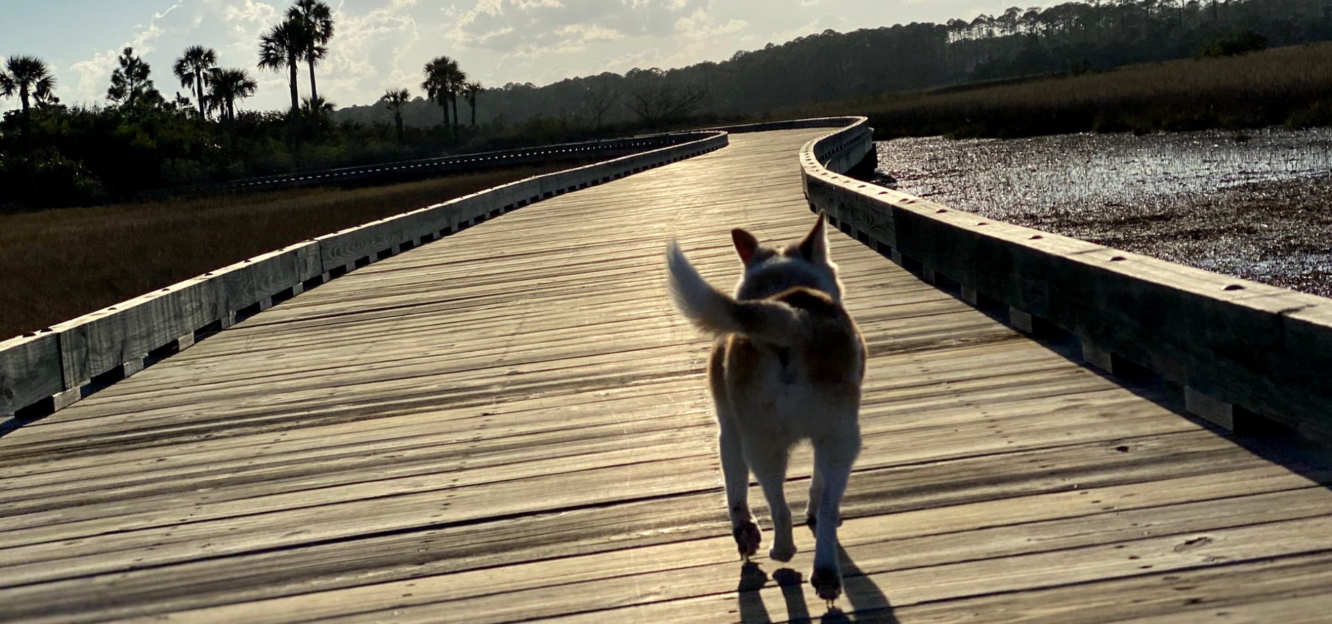
The Mayport Ferry: Fort George Island and A1A north to Amelia.
A five-minute crossing of the St. Johns River ties the Beaches to the Talbot Islands and Amelia Island along A1A. Here is who runs it, when it sails, what it costs, what shuts it down, and the way around when it does.

By Krista Fracke — Broker Associate, Christie's International Real Estate First Coast · 20+ years in Northeast Florida · 500+ closings · client reviews
If you live on either bank
I’m Krista Fracke. For anyone living in Mayport, Atlantic Beach or the Beaches, the ferry turns Fort George Island, the Talbot Islands beaches and Amelia Island into a coastal drive up A1A. For anyone living on Amelia Island or the north bank, it is the short way down to Mayport Village and the Beaches. The St. Johns River Ferry links the north and south ends of State Road A1A in Duval County, and the river crossing itself takes about five minutes.
South landing: Mayport Village
On Ocean Street in Mayport Village, per JTA.
North landing: Fort George Island
9618 Heckscher Drive, Jacksonville, per JTA. A1A continues north from here across the Talbot Islands.
The crossing
0.9 miles, about five minutes, sailing 2.5 miles inland of the river’s mouth. Departures every half hour from each side.
Hours
As published by JTA in October 2026, the boat leaves Mayport Village on the hour and the half hour, and Fort George Island at quarter past and quarter to the hour. Weekends start later and run later than weekdays.
| Leaving from | Departs | Weekdays | Weekends |
|---|---|---|---|
| Mayport Village | :00 and :30 | 6:00 a.m. to 6:30 p.m. | 8:00 a.m. to 8:30 p.m. |
| Fort George Island | :15 and :45 | 6:15 a.m. to 6:45 p.m. | 8:15 a.m. to 8:45 p.m. |
Source: JTA, St. Johns River Ferry schedule, read October 27, 2026. Check the MyJTA app before you go.
Fares, now and from January 1, 2027
As published by JTA in October 2026, a car pays $7 on a weekday and $8 on a weekend, and a walk-on or bicycle rider pays $1. JTA has already posted the fares that start January 1, 2027, so both are below.
| Fare | Weekday now | Weekend now | Weekday from Jan 1, 2027 | Weekend from Jan 1, 2027 |
|---|---|---|---|---|
| Walk-on or bicycle | $1 | $1 | $1 | $1 |
| Motorcycle | $6 | $6 | $7 | $7 |
| Car (under 20 feet) | $7 | $8 | $8 | $10 |
| Truck, bus or RV (20 feet or longer) | $14 | $16 | $16 | $19 |
| Ticket book, car (20 crossings) | $120 | $120 | $140 | $140 |
| Ticket book, truck, bus or RV (20 crossings) | $240 | $240 | $280 | $280 |
A ticket book holds 20 crossings and works any day of the week. Fares can be bought in the MyJTA app, and ticket books through the JTA store website. Semitrailers are not allowed on the ferry.
Walk-on and bicycle riders with a valid Senior or Reduced Fare ID STAR Card, or a Paratransit E-STAR Card, ride for $0.50 every day. Show the card to the toll-taker before boarding.
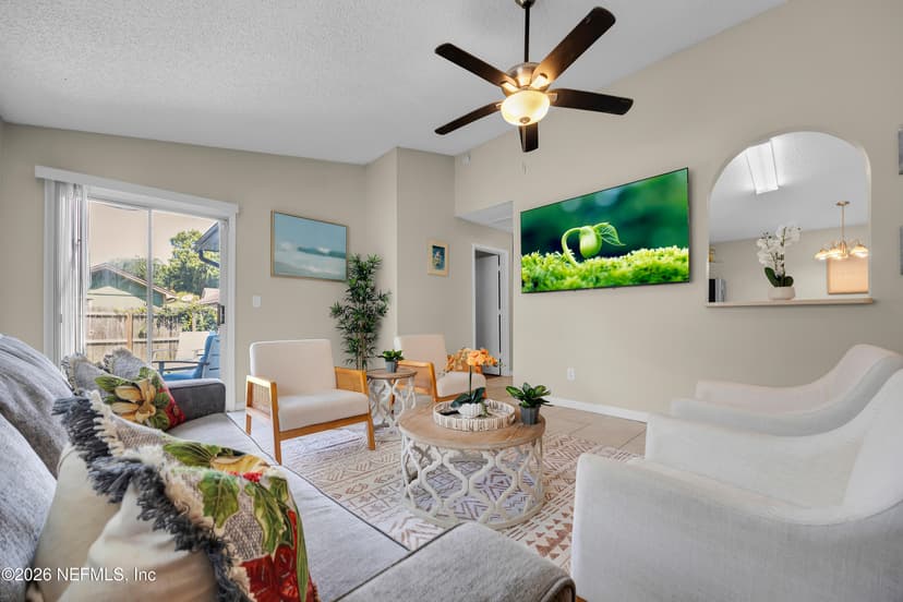
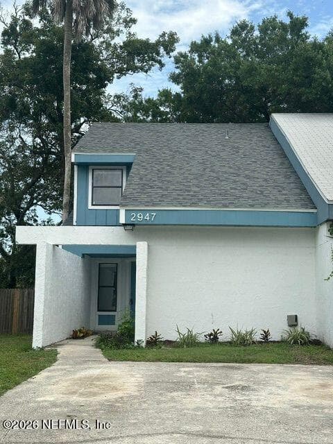
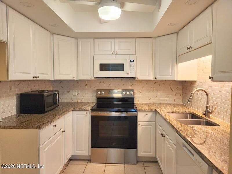
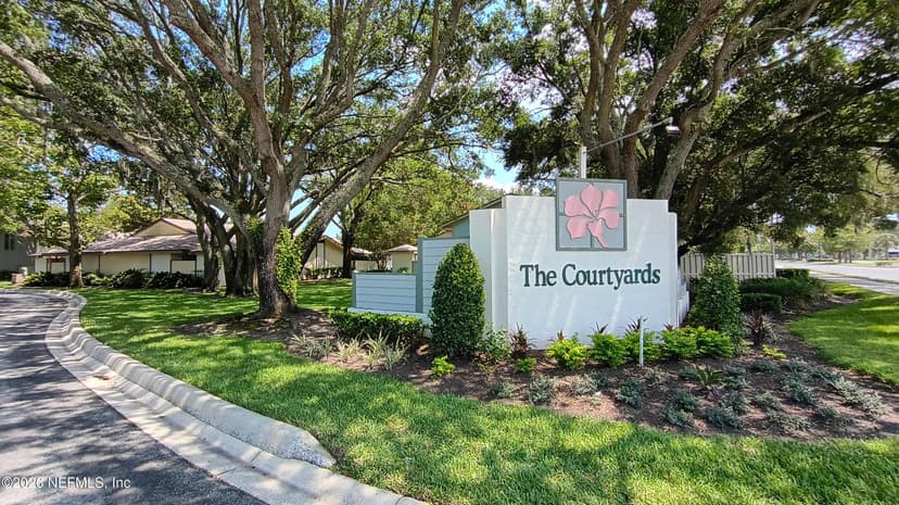
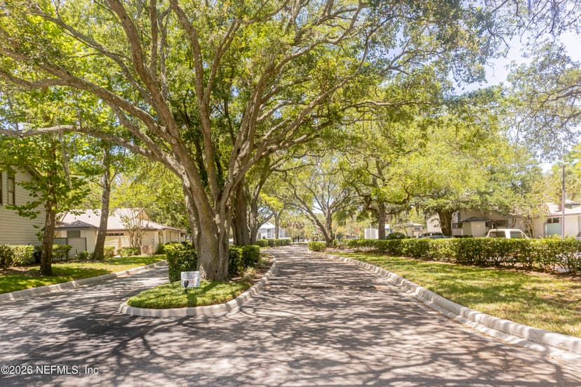
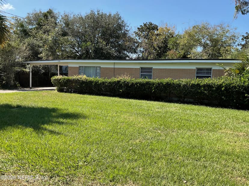
Homes for sale in Mayport
The south landing is in Mayport Village, at the north end of A1A on the Beaches side.
What the ferry connects
Step on at Mayport and you are inside the Timucuan Ecological and Historic Preserve, part of the National Park System, and a park ranger sometimes rides along, per JTA. The National Park Service lists dolphins among the preserve’s wildlife, so keep an eye on the water. On weekends, volunteer Friends of the Ferry ambassadors are aboard to answer questions about the area.
Off the north landing, A1A runs from Fort George Island across Little and Big Talbot Islands to Amelia Island, as the National Park Service describes the route. JTA puts the Fort George landing about 16 miles south of Fernandina Beach on A1A.
Two stops sit just past the landing on Fort George Island. The Ribault Club, an interagency visitor center owned by the Florida Park Service at 11241 Fort George Road, is open Wednesday through Sunday, 9:00 a.m. to 5:00 p.m., per the National Park Service. Kingsley Plantation is the other. Coming from the ferry, the Park Service’s directions put its turn about half a mile past the ferry landing, then a two-mile dirt road in.
For the parks along the way, parks near Jacksonville has the Talbot Islands and the Timucuan sites with drive times, and the beaches guide covers the state-park beaches between Nassau Sound and the river.
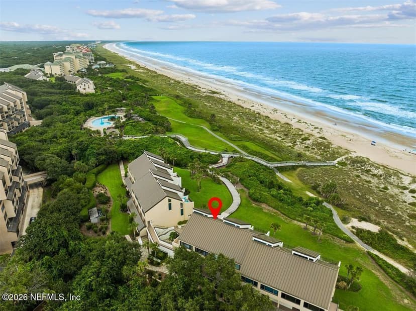
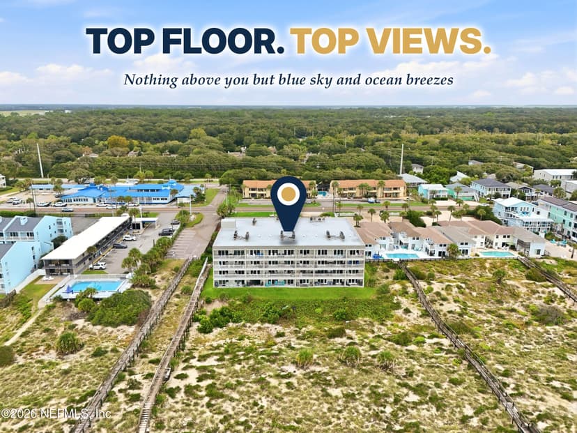
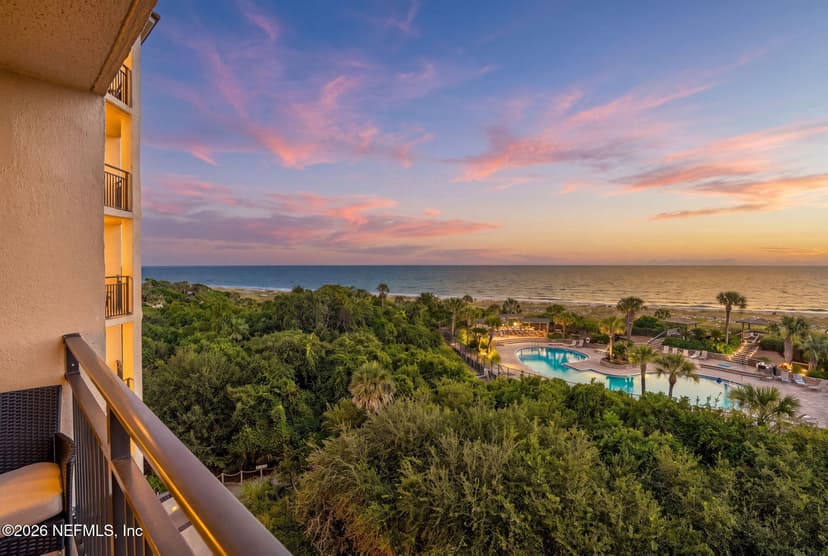
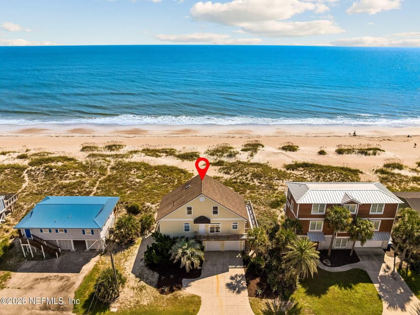
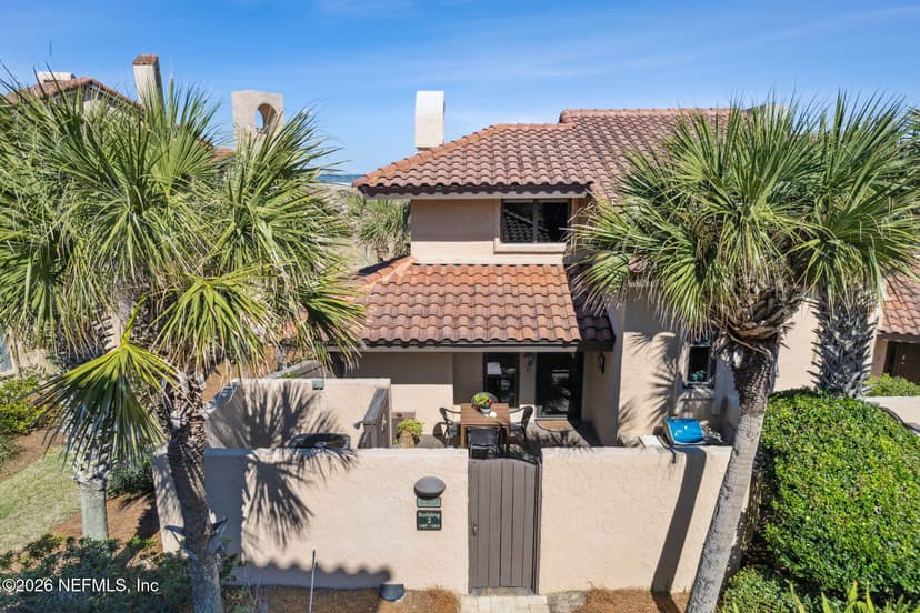
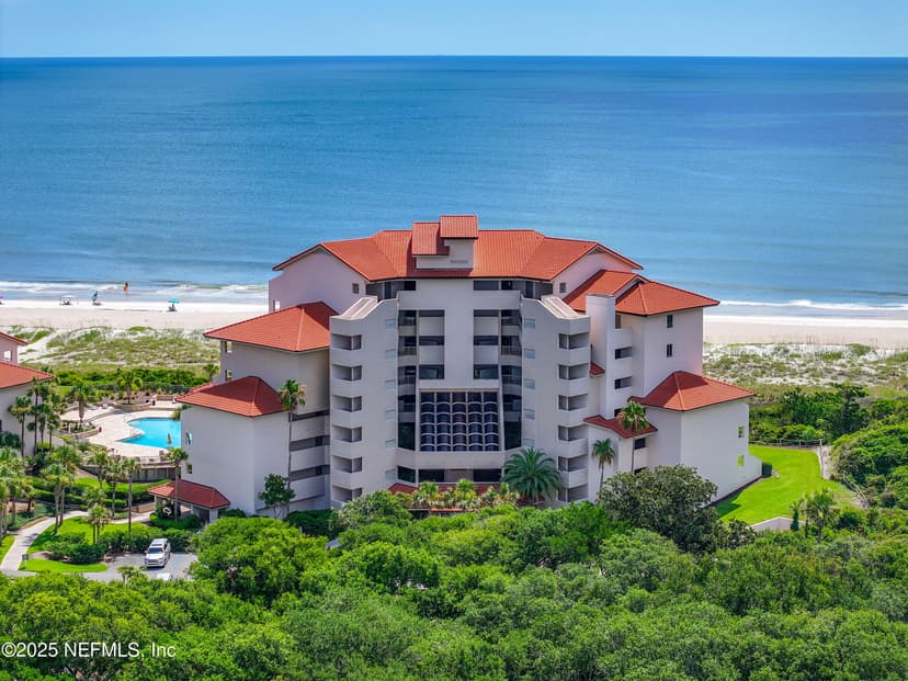
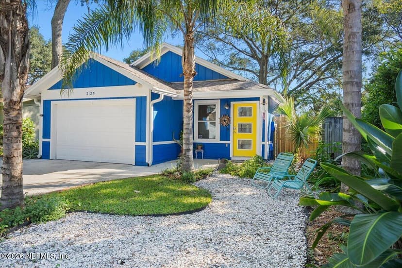
Oceanfront homes on Amelia Island
At the north end of the A1A drive that starts at the Fort George landing. Every home reports ocean frontage in the MLS.
The part nobody tells you: the river decides
The ferry crosses near the mouth of a big river, and some days it does not sail. JTA posts an advisory on its ferry page when river conditions take the boat out of service, and points riders to the MyJTA app for the latest. In a storm, JTA’s severe weather policy shuts down all of its services before the weather arrives: when the city’s Emergency Operations Center directs it, when sustained winds reach 35 mph, or when other conditions make operating unsafe.
If your week depends on the crossing, check the app before you leave the driveway, and know the drive-around below. It turns a five-minute ride into a loop over the I-295 bridge, so plan for it on a windy day.
The drive-around when the ferry is down
Without the ferry, the two landings connect by I-295. From the Mayport side, JTA’s directions use Wonderwood Expressway and Merrill Road (State Road 116) between A1A and I-295 at Exit 46. North on I-295, the National Park Service’s directions cross the St. Johns River on the Napoleon Bonaparte Broward Bridge, take the first exit (Exit 41) east onto Heckscher Drive (State Road 105), and follow it about ten miles to Fort George Island, passing the ferry’s north landing on the right.
Going the other way from Amelia Island, take A1A south to the Fort George landing, then Heckscher Drive west to I-295 and back across the river. Your map app will give the minutes for the hour you are driving.
On board
JTA asks drivers to stay with their vehicles for the trip, to turn off the engine and set the parking brake, and to keep to 3 mph on and off the boat. Motorcycle riders stay with their bikes. Walk-ons wait in the staging area until the crew signals to board. Only service dogs may leave a vehicle and stand on deck; a walk-on with a dog on a short leash may stand at the back of the ferry when there is room, per JTA’s rules.
Questions go to JTA Customer Service at (904) 630-3100.
Homes for sale in Atlantic Beach
A1A runs north from Atlantic Boulevard up Mayport Road to the ferry, per JTA's directions from the Beaches.
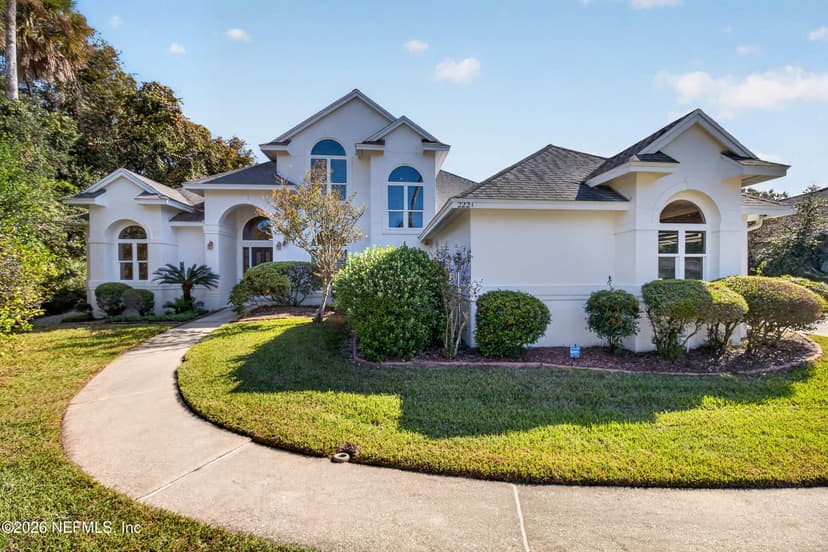
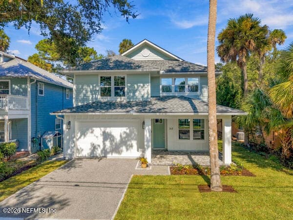
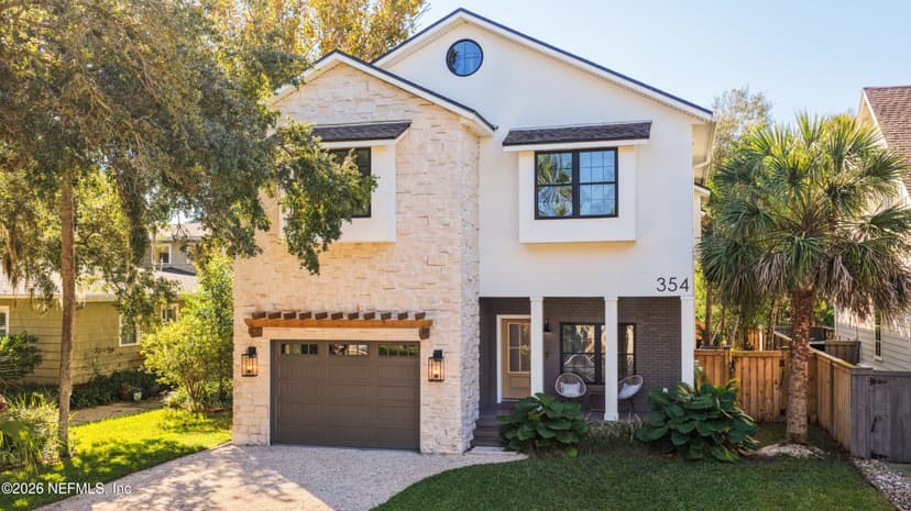
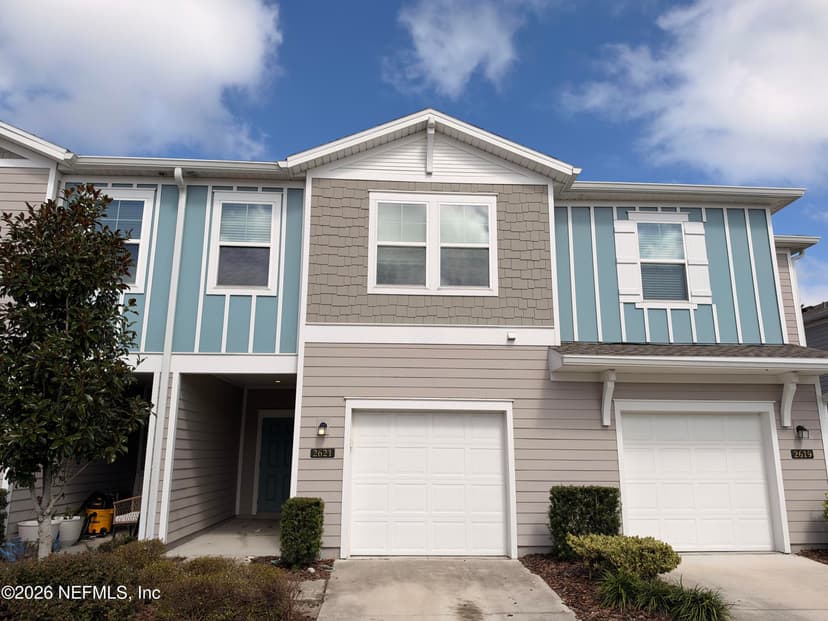
This is the work I do every week. Weighing Mayport against Amelia Island, or a home on one bank with a job on the other? Tell me your week. I'll send the homes that fit it.
Work with Krista (904) 709-7917 TextSave contact
By texting Krista you agree to receive conversational SMS text messages from Krista Fracke about your home search or sale. Message frequency varies. Message and data rates may apply. Reply STOP to unsubscribe, HELP for help. Terms: www.kristafracke.com/terms. Privacy: www.kristafracke.com/privacy.
Broker Associate · Christie's International Real Estate First Coast · 20+ years · 500+ closings
Common questions
Who runs the Mayport ferry?
The Jacksonville Transportation Authority (JTA). JTA took over operation of the St. Johns River Ferry on March 31, 2016, and publishes the schedule, fares and service advisories on its ferry page and in the MyJTA app.
What are the Mayport ferry hours?
As JTA published them in October 2026, the ferry leaves Mayport Village on the hour and half hour from 6:00 a.m. to 6:30 p.m. on weekdays and 8:00 a.m. to 8:30 p.m. on weekends. From Fort George Island it leaves at quarter past and quarter to the hour, 6:15 a.m. to 6:45 p.m. on weekdays and 8:15 a.m. to 8:45 p.m. on weekends.
How much does the St. Johns River Ferry cost?
As JTA published it in October 2026, a car under 20 feet is $7 on weekdays and $8 on weekends, a motorcycle is $6, and a walk-on or bicycle rider is $1. JTA has posted new fares starting January 1, 2027: $8 weekdays and $10 weekends for a car, $7 for a motorcycle, and $1 for walk-ons and bicycles.
How long is the ferry ride from Mayport to Fort George Island?
About five minutes. JTA describes it as a 0.9-mile crossing of the St. Johns River, 2.5 miles inland of the river’s mouth.
What if the ferry is not running?
Drive around by the interstate. From the Mayport side, JTA’s own directions run Wonderwood Expressway and Merrill Road to I-295. The National Park Service’s directions take I-295 north over the St. Johns River on the Napoleon Bonaparte Broward Bridge, then the first exit east onto Heckscher Drive (State Road 105) for about ten miles, past the ferry’s north landing. Check the MyJTA app before you leave, since JTA posts advisories when river conditions stop the ferry.
The First Coast beaches →
A local guide from Amelia Island to Matanzas.
Mayport →
Homes, market numbers and the area around the south landing.
Amelia Island →
Homes for sale at the north end of the A1A drive.
Atlantic Beach →
Homes for sale a short drive south of the ferry.
Beach wildlife →
Dolphins, right whales, manatees and shorebirds, month by month.
Parks near Jacksonville →
The Talbot Islands, the Timucuan sites and more, with drive times.
Living on one side of the river?
Tell me which bank you want to wake up on. I’ll send the homes that fit.