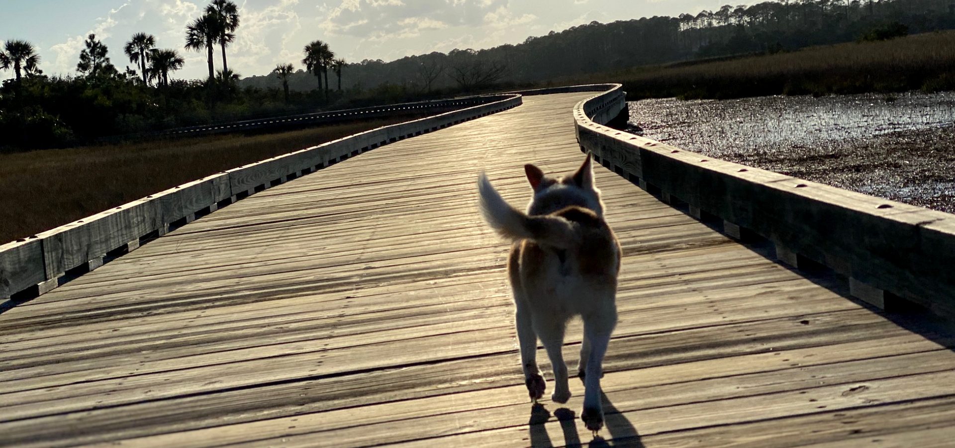
Kayaks and paddleboards, every place to launch.
63 public hand launches in Nassau, Duval and St. Johns counties, from FWC’s inventory: marsh creeks, the Intracoastal, the St. Johns and its tributaries. The state’s paddling trails, the rules on a kayak or a board, and how warm the water gets.

By Krista Fracke — Broker Associate, Christie's International Real Estate First Coast · 20+ years in Northeast Florida · 500+ closings · client reviews
Every public launch
I’m Krista Fracke, and this coast is one of the easiest places in Florida to own a kayak: tidal creeks wind behind nearly every beach town and through the preserves between them. These are the public places to put in, blue for salt and brackish water, green for fresh. The big boat ramps work too; they’re on the boat ramp map.
Salt or brackishFreshwaterClosedShowing 76 of 76
The state’s paddling trails
The Florida Circumnavigational Saltwater Paddling Trail runs the whole state coast, and three of its segments are here: Segment 26 around Amelia Island and Fort Clinch, Segment 25 along the Jacksonville coast, and Segment 24 through St. Augustine. FDEP publishes a map book and guide for each, with launches and campsites.
Inland, the state designates the St. Marys River and Pellicer Creek, a short beginner trail on the St. Johns–Flagler line, as paddling trails. Guana Lake inside the GTM Research Reserve is limited to 10-horsepower motors, which keeps it quiet water for paddlers.
What the law asks of a kayak or a board
- Outside swimming, surfing and bathing areas, FWC counts a paddleboard as a vessel, the same as a kayak or canoe.
- One Coast Guard-approved life jacket aboard per person. Children under 6 must wear theirs; adults are strongly advised to.
- A whistle, horn or bell that can be heard half a nautical mile away.
- Between sunset and sunrise, a white lantern or flashlight.
- No registration for a kayak, canoe or board without a motor (FWC).
- Right whales offshore from mid-November to mid-April: the 500-yard rule covers kayaks and paddleboards too (NOAA).
How warm the water gets
| Station | Jan | Feb | Mar | Apr | May | Jun | Jul | Aug | Sep | Oct | Nov | Dec |
|---|---|---|---|---|---|---|---|---|---|---|---|---|
| Fernandina Beach | 57° | 59° | 64° | 71° | 77° | 82° | 84° | 84° | 82° | 77° | 68° | 61° |
| Mayport | 58° | 58° | 63° | 70° | 76° | 81° | 83° | 83° | 83° | 77° | 69° | 62° |
| St. Augustine | 59° | 60° | 64° | 69° | 76° | 80° | 81° | 82° | 83° | 77° | 70° | 63° |
Long-term monthly averages, °F, from NOAA’s coastal water temperature guide. Bold is 75° or warmer.
The part nobody tells you: the tide plans the trip
The marsh creeks here are tidal, and a creek that floats a kayak at high water can be a mud flat at low. Paddle out with the falling tide and you may walk home; go out on the last of the rising tide and ride the fall back. The current in the inlets and under the Intracoastal bridges runs hard enough to matter on a board.
For a homeowner, that is the difference between a creek-front lot you can launch from every day and one you can launch from twice a day. Walk the dock at low tide before you buy.
Launches by county
Nassau County (3)
- Egan's Creek Park – Kayak Launch DockEgan's Creek · free · Directions
- Four Creeks State Forest – Boggy Creek Landing Canoe AccessBoggy Creek · free · Directions
- Four Creeks State Forest – Saul's Landing Canoe AccessMills Creek · free · Directions
Duval County (43)
- Thomas Creek Preserve Kayak Launch DockThomas Creek · free · Directions
- Four Creeks State Forest – Thomas Creek Canoe AccessThomas Creek · free · Directions
- Betz – Tiger Point Preserve Edwards Creek Day Use Area Kayak LaunchEdwards Creek · free · Directions
- Pumpkin Hill Creek Preserve State Park Canoe / Kayak LaunchPumpkin Hill Creek · free · Directions
- Little Talbot Island State Park – Kayak Amelia Non – Motorized LaunchSimpson Creek · $5 per kayak · Directions
- Oceanway Fish Management Area Hand Launch Ramp (No Gas Motors)Oceanway Lake · free · Directions
- Little Talbot Island State Park – Campround Paddlecraft Launch (Registered Campers Only)$5 per vehicle · Directions
- Lake Bethesda Park – Adaptive Kayak LaunchBethesda Pond · free · Directions
- Haulover Creek Undeveloped Launch SiteHaulover Creek · free · Directions
- Huguenot Memorial Park – Non – Motorized Boat Beach Access PointsAtlantic Ocean · $5 · Directions
- Huguenot Memorial Park – Non – Motorized Boat Beach Access PointsFt. George Sound · $5 · Directions
- Huguenot Memorial Park – Non – Motorized Boat Beach Access PointsSt. Johns River · $5 · Directions
- Ribault River Preserve Canoe AccessRibault River · free · Directions
- Jim King Park at Sisters Creek – Kayak Launch DockIntracoastal Waterway · free · Directions
- Jim King Park at Sisters Creek – Kayak Launch DockIntracoastal Waterway Creeks · free · Directions
- Charles Reese Memorial Park Kayak LaunchSt. Johns River - Trout River (Jacksonville) · free · Directions
- Joe Carlucci Sisters Creek Park – Paddlecraft Launch BeachSt. Johns River · free · Directions
- North Shore Park Kayak LaunchSt. Johns River - Trout River (Jacksonville) · free · Directions
- Reddie Point Preserve Canoe AccessSt. Johns River · free · Directions
- Blue Cypress Park Canoe AccessSt. Johns River · free · Directions
- Kathryn Abbey Hanna Park Fish Management Area – Kayak Launch DockHanna Park Lake · $5 · Directions
- Dutton Island Park & Preserve – North Kayak LaunchPablo Creek · free · Directions
- Dutton Island Park & Preserve – South Kayak LaunchPablo Creek · free · Directions
- Tide Views Preserve Canoe Landing (Long Portage!)Pablo Creek · free · Directions
- Chelsea Street Kayak Access at McCoy CreekMcCoy's Creek · free · Directions
- North Bank River Walk – Gefen Park Paddlecraft AccessSaint Johns River · free · Directions
- Metropolitan Park Marina – Kayak AccessSt. Johns River · free · closed · Directions
- Bee Street Park – Paddlecraft AccessSaint Johns River · free · Directions
- Pope Duval Fish Management Area East Pond – Hand Launch Ramp (No Gas Motors)Pope Duval East Pond · free · Directions
- Castaway Island Preserve Kayak DockAtlantic Intercoastal Waterway · free · Directions
- River Oaks Park Paddlecraft AccessCraig Creek · free · Directions
- Stinson Park Paddlecraft and Dinghy DockOrtega River · free · Directions
- Cradle Creek Preserve Kayak Launch (Long Portage!)Cradle Creek - San Pablo Creek · free · Directions
- Seminole Park Paddlecraft AccessOrtega River · free · Directions
- Huguenot Park Fish Management Area Hand LaunchHuguenot Lagoon · free · Directions
- Earl Johnson City Park – St. Augustine Road Fish Management Area North Hand Launch Ramp (No Gas Motors)St. Augustine Road Fish Management Area North Pond · free · Directions
- Earl Johnson City Park – St. Augustine Road Fish Management Area South Hand Launch Ramp (No Gas Motors)St. Augustine Road Fish Management Area South Pond · free · Directions
- Nathan Krestul Park Paddlecraft AccessChristopher Creek · free · Directions
- Alejandro Garces Camp Tomahawk Park Paddlecraft AccessGoodby's Creek · free · Directions
- Ringhaver Park Kayak Launch (Long Portage!)Ortega River · free · Directions
- County Dock Hand Launch AreaSt. Johns River · free · Directions
- Palmetto Leaves Regional Park Canoe LaunchJulington Creek - Big Davis Creek · free · Directions
- Mandarin Park Kayak Launch DockJulington Creek · free · Directions
St. Johns County (17)
- Nocatee Trail Paddlecraft Launch at Palm Valley BridgeIntracoastal Waterway · free · Directions
- Guana River Wildlife Management Area – Roscoe Road – McNeil's Pond Kayak AccessMcNeil's Pond · Directions
- Alpine Groves Park Canoe and Kayak LaunchSt. Johns River · Directions
- Nocatee Landing Park – Paddlecraft RampTolomato River · free · Directions
- Fort Mose Historic State Park – Kayak Launch DockRobinson Creek - Tolomato River · free · Directions
- San Sebastian River at Highway 16 Roadside Primitive AccessSan Sebastian River · Directions
- Vilano Causeway Primitive AccessHospital Creek · free · Directions
- Anastasia State Park Canoe/Kayak/Sailboard AccessSalt Run · $8 per vehicle · Directions
- Moultrie Bluffs – Lewis Point Park – Paddlecraft AccessMoultrie Creek · free · Directions
- Vail Point Park – Paddlecraft DockMoultrie Creek · free · Directions
- Coastal Drive Kayak Beachfree · Directions
- 206 Causeway Kayak Beach · Directions
- Fort Matanzas National National Monument – Matanzas Inlet West Parking Lot Paddlecraft Accessfree · Directions
- Helen Mellon Schmidt Park Paddlecraft Access #1Matanzas River · free · Directions
- Helen Mellon Schmidt Park Paddlecraft Access #2Matanzas River · free · Directions
- Helen Mellon Schmidt Park Paddlecraft Access #3Matanzas River · free · Directions
- River to Sea Preserve – North Paddlecraft AccessMatanzas River · free · Directions
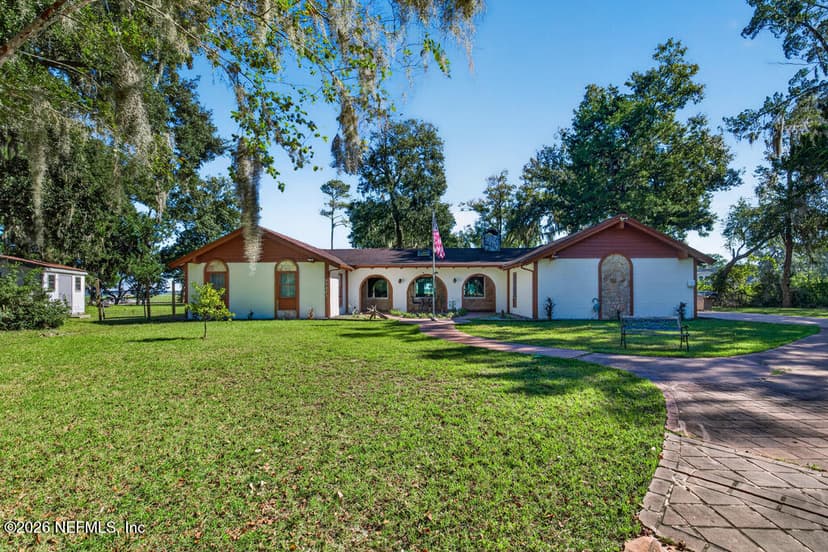
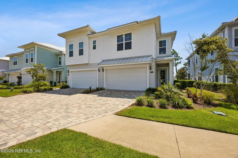
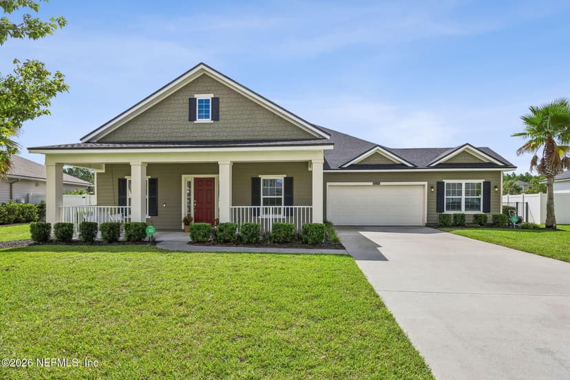
Homes on creeks, marsh and the Intracoastal in Nassau County
Paddle from the backyard.
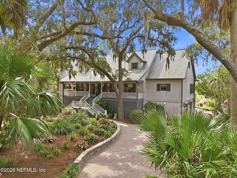
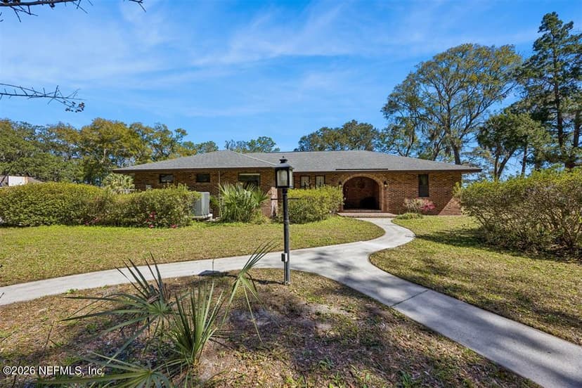
Homes on creeks, marsh and the Intracoastal in Duval County
Paddle from the backyard.
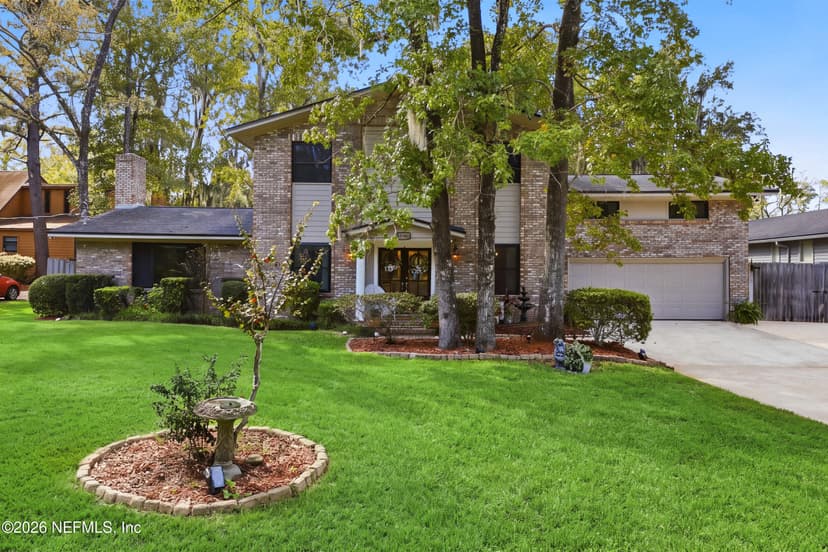
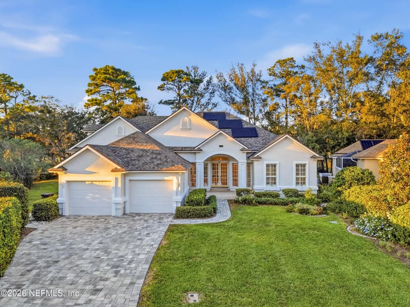
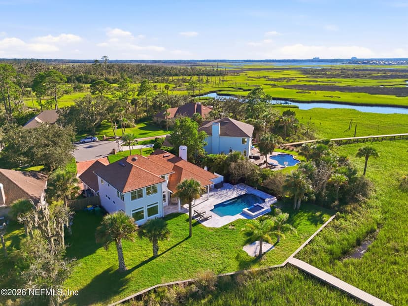
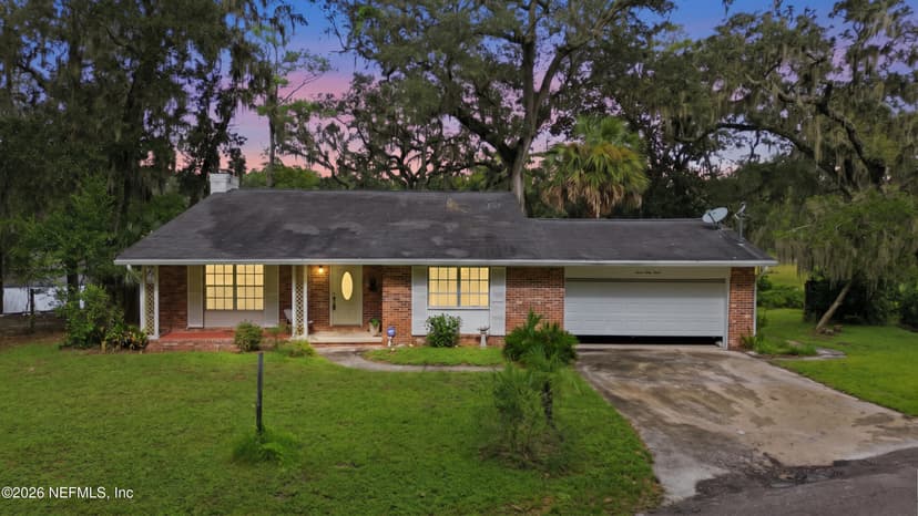
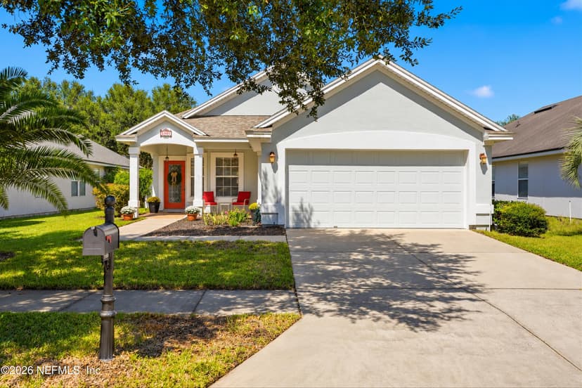
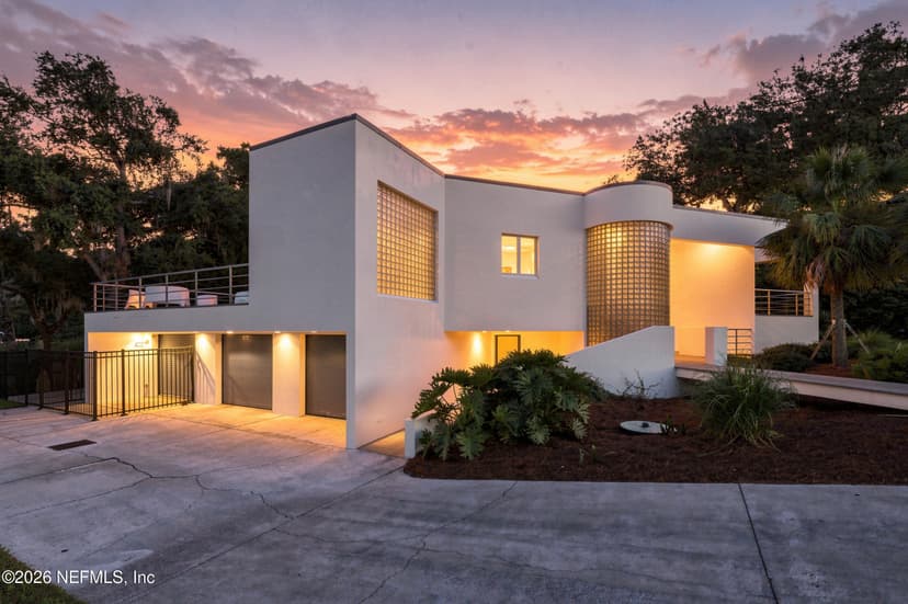
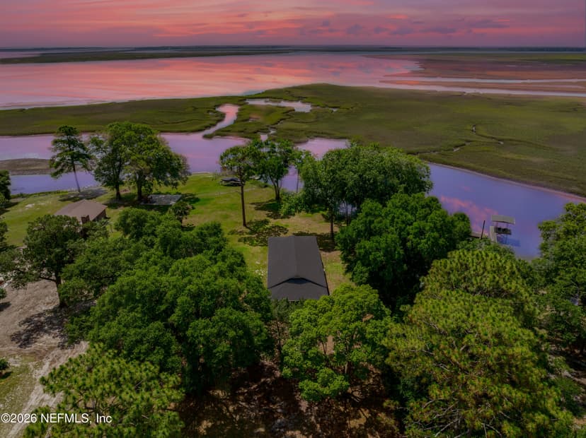
Homes on creeks, marsh and the Intracoastal in St. Johns County
Paddle from the backyard.
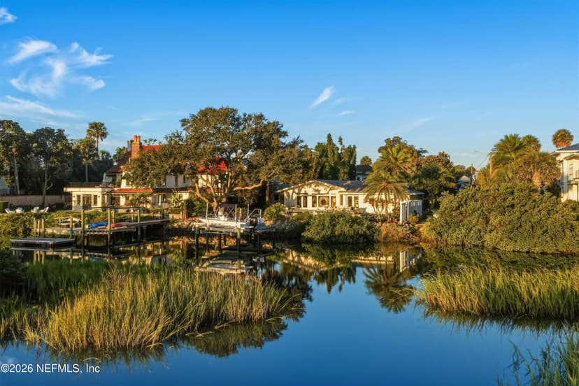
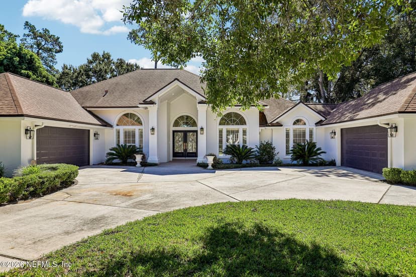
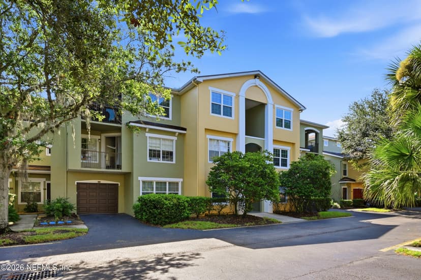
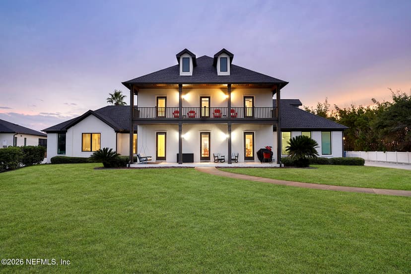
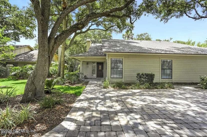
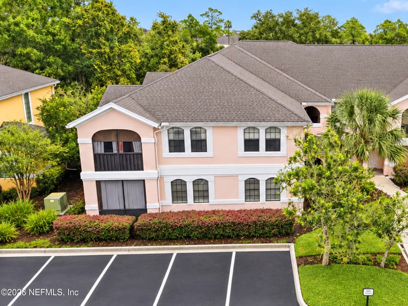
This is the work I do every week. Want to launch from your own backyard? Tell me which creek or stretch of the Intracoastal you love. I'll find the homes on it and check the water at low tide before you offer.
Work with Krista (904) 709-7917 TextSave contact
By texting Krista you agree to receive conversational SMS text messages from Krista Fracke about your home search or sale. Message frequency varies. Message and data rates may apply. Reply STOP to unsubscribe, HELP for help. Terms: www.kristafracke.com/terms. Privacy: www.kristafracke.com/privacy.
Broker Associate · Christie's International Real Estate First Coast · 20+ years · 500+ closings
Common questions
Is a paddleboard a vessel in Florida?
Yes, outside swimming, surfing and bathing areas. FWC classes a paddleboard as a vessel, so it needs a Coast Guard-approved life jacket aboard for each person (worn by children under 6), a whistle, horn or bell, and a white light between sunset and sunrise.
Do I need to register a kayak in Florida?
No. Canoes, kayaks and other boats without a motor are exempt from registration regardless of length. Put a motor on one and it needs a registration.
Where can I launch a kayak near Jacksonville and St. Augustine?
FWC’s inventory lists 63 public hand launches in Nassau, Duval and St. Johns counties, 40 of them on salt or brackish water: marsh creeks, the Intracoastal and the St. Johns River. The map on this page shows every one with its parking, fee and directions.
When is the water warm enough to paddleboard?
NOAA’s long-term averages at Mayport run about 58°F in January and February, near 70°F in April, and above 80°F from June through September. Most people paddle without a wetsuit from May to October.
Every public boat ramp →
Lanes, trailer parking and fees, on one map.
Surfing and water sports →
Pier zones, kiteboarding, jet skis and rip currents.
Fishing the First Coast →
Surf, pier, inlet, river and offshore.
Neighborhoods for outdoor life →
Where the trails and the water are close.
Springs near Jacksonville →
Paddle the spring runs, within two hours.
Launch data from FWC’s Florida Boat Ramp Inventory, read October 17, 2026. Check the launch’s own page or the posted signs before you go.
Water out back?
Tell me how you like to paddle. I’ll send the homes on water you can launch from.