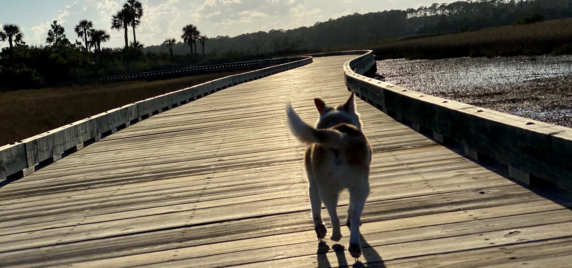
Yachts and marinas near Ponte Vedra Beach
How a yacht gets here, the bridges that set its limits, where it docks, what a dock at home can be, and what Florida asks of an owner, from the published charts, rules and marina rates.

By Krista Fracke — Broker Associate, Christie's International Real Estate First Coast · 20+ years in Northeast Florida · 500+ closings · client reviews
Coming in from the ocean
I’m Krista Fracke, and this guide starts where a move by water starts: getting the boat to the house. There are two inlets. The St. Johns River entrance at Mayport, north of the Beaches, is a federal shipping channel dredged to 47 feet from the sea buoy to Blount Island in 2022. NOAA’s Coast Pilot gives ebb currents of about 4 knots between the jetties, with cross-sets at the jetty ends, and asks every vessel arriving at the bar to make a Sécurité call on VHF channel 13 thirty minutes before entering the jetties, since ship traffic has the channel.
St. Augustine Inlet, to the south, puts a boat right at the city marinas, but Coast Pilot describes it as subject to frequent change, with shifting shoals a mile offshore and buoys that are moved too often to chart. It advises local knowledge before entering, and strong northeast or northwest winds can make the bar impassable; it advises yachts without local knowledge to take a local pilot, arranged through the city dockmaster a day ahead. For a deep-draft yacht, Mayport is the dependable entrance.
The Intracoastal and its bridges
Every fixed bridge on the Intracoastal from Fernandina to St. Augustine is 65 feet, with overhead cables at 80 feet or more; the Kingsley Creek railroad swing bridge and the Bridge of Lions open for taller boats. A power yacht that clears 65 feet can run the stretch inside. A sailboat with a mast much over 63 feet, allowing for the tide, runs outside, entering at the St. Johns River or St. Augustine Inlet. The federal project depth is 12 feet, but that is the design depth, not the depth on a given day; check the Army Corps surveys before a deep-draft run. Coast Pilot also notes severe shoaling reported from Mile 775 to 780, across St. Augustine Inlet, and advises local knowledge there.
| ICW mile | Bridge | Type | Clearance |
|---|---|---|---|
| 720.7 | SR A1A, Kingsley Creek (Fernandina)The railroad swing bridge beside it is 5 ft closed | Fixed | 65 ft |
| 739.2 | Heckscher Drive (SR 105), Sisters Creek | Fixed | 65 ft |
| 744.7 | Atlantic Boulevard (SR 10)Ebb current to 5.2 knots at the bridge | Fixed | 65 ft |
| 742.1 | Wonderwood Drive | Fixed | 65 ft |
| 747.5 | Beach Boulevard (US 90) | Fixed | 65 ft |
| 749.5 | J. Turner Butler Boulevard (SR 202) | Fixed | 65 ft |
| 758.8 | Palm Valley (SR 210) | Fixed | 65 ft |
| 775.8 | Vilano Beach (SR A1A) | Fixed | 65 ft |
| 777.9 | Bridge of Lions (SR A1A), St. AugustineOpens on a schedule (below) | Bascule | 18 ft closed |
| 780.3 | SR 312, St. Augustine | Fixed | 65 ft |
The Bridge of Lions opens on signal, except from 7 a.m. to 6 p.m., when it opens only on the hour and half hour, and not at 8 a.m., noon or 5 p.m. on weekdays other than federal holidays. Coast Pilot warns that the ebb runs at right angles to the bridge and has caused several mishaps, so plan the approach on a fair tide.
Up the St. Johns to downtown and Ortega
The river is the other route to a home or a slip in San Marco, Riverside, Avondale or Ortega. The high bridges near the mouth clear any yacht; the limits come downtown.
| Bridge | Type | Clearance |
|---|---|---|
| Dames Point | Fixed | 169 ft |
| Mathews | Fixed | 146 ft over the main channel |
| Hart | Fixed | 135 ft |
| Main StreetNeed not open 7:00–8:30 a.m. and 4:30–6:00 p.m., Monday to Saturday | Vertical lift | 40 ft down, 135 ft up |
| FEC railroadNormally left open; lowers for trains | Bascule | 5 ft closed |
| Acosta | Fixed | 74 ft |
| Fuller Warren (I-95) | Fixed | 75 ft at center |
| Grand Avenue (SR 211), Ortega River entrance | Bascule | 9 ft closed |
| Roosevelt Boulevard (US 17), Ortega RiverSets the mast limit for the marinas above it | Fixed | 45 ft |
| Railroad, Ortega River | Bascule | 2 ft closed |
Coast Pilot calls the Ortega River the major yachting center of the Jacksonville area. A boat enters through the Grand Avenue drawbridge; above the fixed Roosevelt Boulevard bridge, 45 feet is the mast limit, and Coast Pilot reported about 6 feet over the entrance bar.
Where to keep a large yacht
St. Augustine Municipal Marina, beside the Bridge of Lions, publishes rates for yachts up to 200 feet, with 30 to 100 amp service at 208 and 480 volts. Its transient rates per foot per night:
| Up to 49 ft | $2.99 a foot |
|---|---|
| 50 to 99 ft | $3.49 a foot |
| 100 to 149 ft | $3.99 a foot |
| 150 to 200 ft | $4.49 a foot |
From the City of St. Augustine’s marina pages. Monthly rates for boats 30 feet and up run $29.90 to $44.90 a foot, for no more than three months in any six.
Fernandina Harbor Marina, run by the city, has about 4,000 feet of alongside dockage on the Amelia River. Downtown, the city’s 78-slip Met Park Marina opened in August 2026 beside the stadium, built for vessels of 30 to 400 feet, with published transient rates of $2.75 to $3.25 a foot. The Beaches marinas off Atlantic and Beach Boulevards and the Ortega River marinas serve boats up to about 50 to 60 feet, and Coast Pilot reports about 6 feet of approach depth at each. Length limits, depth at the slip and power differ from one source to the next, so confirm all three with the dockmaster before you commit.
A dock at home
Florida’s Department of Environmental Protection sets the size limits. A private dock up to 1,000 square feet over water and wetlands is exempt from a state permit, or 500 square feet in Outstanding Florida Waters. Up to 2,000 square feet for no more than two boats fits a general permit; anything larger needs an individual permit. The rule that matters most for a big boat is in the state’s aquatic preserves, including Guana River Marsh, Pellicer Creek and the Nassau River–St. Johns River Marshes: a single-family dock there may reach no deeper than 4 feet at mean low water, no farther out than 500 feet from mean high water or 20 percent of the waterway’s width, whichever is less, with a terminal platform of no more than 160 square feet.
So a deep-draft yacht at home needs water that is already deep at the shoreline: the St. Johns River main stem, a dredged canal, or a lot outside the preserves. “Deepwater” is a marketing word, not a measurement. Ask for the depth at mean low water at the end of the dock, measured by survey, and check the lot on the state’s MapDirect map before you write an offer.
Tax, registration and foreign flags
- Sales tax is capped. Florida’s sales tax on a boat may not exceed $18,000, and the tax on any one repair is capped at $60,000.
- Nonresident buyers. A boat a nonresident buys from a Florida dealer avoids the tax if it leaves Florida within 90 days, is registered or documented elsewhere, and stays out of Florida for six months after it leaves. A $425 extension decal, requested within 60 days, allows up to 180 days in total, and that cannot be extended. A buyer moving here generally owes the tax.
- A boat bought elsewhere. A boat used six months or more in another state before coming to Florida is presumed not bought for use here, and tax paid to another state counts toward Florida’s.
- Registration. Every vessel used on Florida waters registers with the county tax collector. Another state’s or a Coast Guard registration is honored for 90 days.
- Foreign-flag yachts. Yachts from the countries on U.S. Customs’ list can get a cruising license for up to a year, reporting arrival at each port to Customs (CBP’s ROAM app is the usual way). A foreign-flag yacht offered for sale or charter here becomes dutiable.
Hurricane season
The season runs June 1 through November 30, and Coast Pilot is direct that the Jacksonville port zone should not be treated as a safe hurricane haven. Florida law protects the owner’s choice: a marina may not require a vessel to leave after a hurricane watch or warning. It can require proper lines, cleats and fenders, take reasonable steps to secure a boat for a fee, and, if the slip contract allows it, move a boat the owner has not tended. Read the storm clause before you sign. St. Augustine’s city marina asks every registered vessel to keep a hurricane plan on file.
A storm plan usually means a haul-out or a move to a protected reach, arranged well before a watch. The haul-out yards Coast Pilot lists:
- Sisters Creek shipyard (ICW at the St. Johns River): 4,000-ton marine railway, vessels to 220 ft
- Marina at ICW Mile 775.6, St. Augustine (Camachee Cove): 50-ton lift
- Ortega River boatyard: 50-ton lift
Irma in 2017 pushed a record 5.57-foot surge into downtown Jacksonville. Ask your insurer how it handles a named storm before you sign a slip contract.
Manatee zones
In Duval County, year-round manatee zones slow traffic on the busiest stretches: Slow Speed shore to shore in lower Sisters Creek near the St. Johns River, at the Intracoastal’s St. Johns River crossing and on the river from Main Street to the Fuller Warren Bridge, and Slow Speed within 300 feet of shore on the Ortega River. Build the time into a trip downtown.
This is the work I do every week. Moving a boat with you? Tell me its length, draft and air draft, and I'll show you homes with water that fits it.
Work with Krista (904) 709-7917 TextSave contact
By texting Krista you agree to receive conversational SMS text messages from Krista Fracke about your home search or sale. Message frequency varies. Message and data rates may apply. Reply STOP to unsubscribe, HELP for help. Terms: www.kristafracke.com/terms. Privacy: www.kristafracke.com/privacy.
Broker Associate · Christie's International Real Estate First Coast · 20+ years · 500+ closings
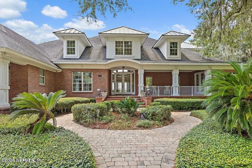
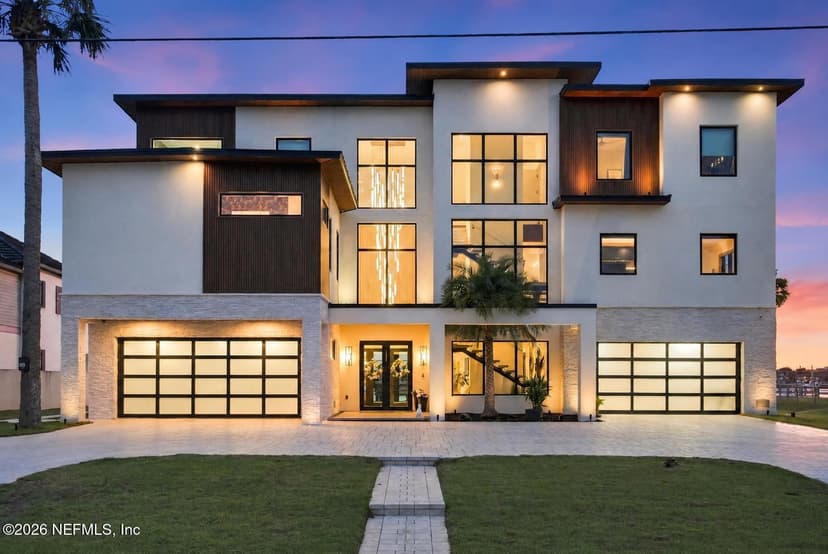
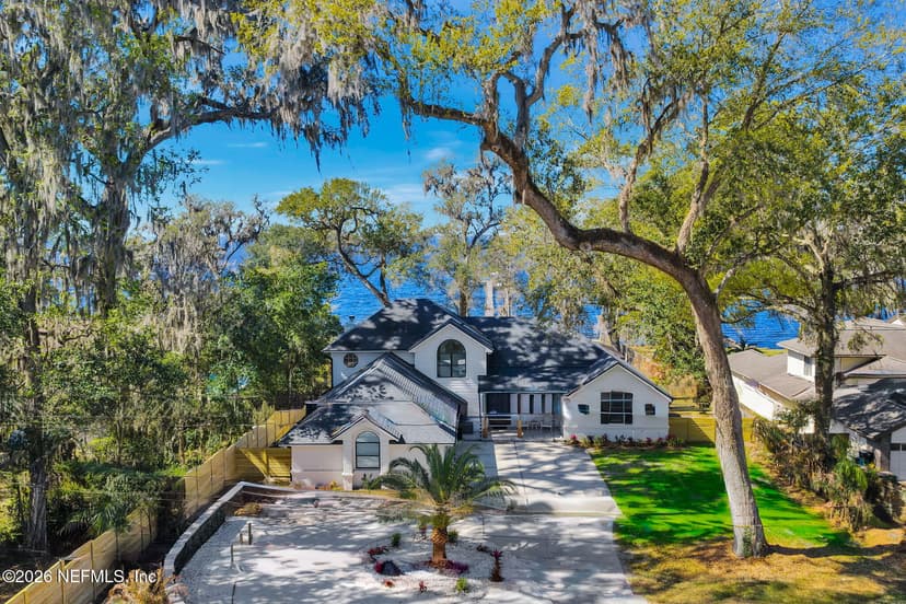
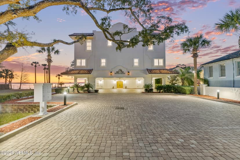
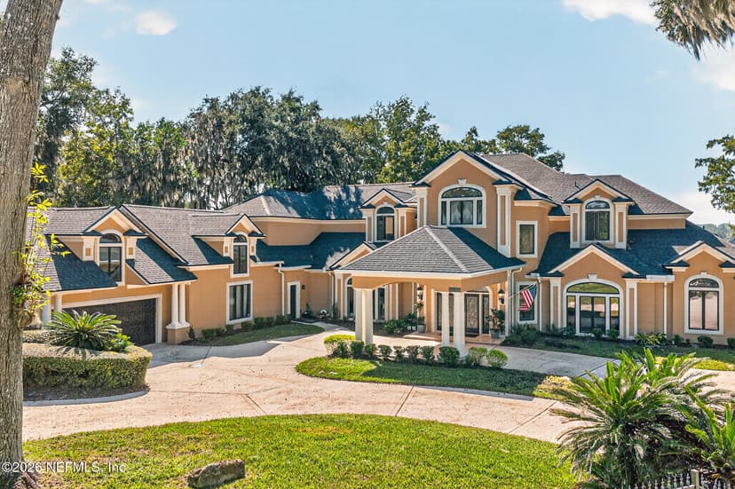
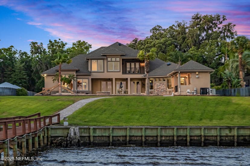
Homes with a dock at $2 million and up
St. Johns County and Jacksonville, live from the MLS. Every listing office named on each card.
Common questions
Can a large yacht reach Ponte Vedra Beach by the Intracoastal?
Yes, within two limits. Every fixed bridge from Fernandina to St. Augustine is 65 feet, so a sailboat with a taller mast runs outside, entering at the St. Johns River or St. Augustine Inlet. The federal project depth is 12 feet, which is not a promise of controlling depth; check the current Army Corps surveys and charts.
Which inlet should a yacht use?
The St. Johns River entrance at Mayport is a deep federal shipping channel and the reliable choice. NOAA describes St. Augustine Inlet as subject to frequent change, with shifting shoals and buoys that are moved often, and advises local knowledge before entering.
Where can a superyacht dock near Ponte Vedra Beach?
St. Augustine Municipal Marina publishes transient rates for yachts up to 200 feet, and Fernandina Harbor Marina has about 4,000 feet of alongside dockage. Downtown Jacksonville's new Met Park Marina was built for vessels of 30 to 400 feet. Confirm length, depth and power with each dockmaster.
How much is the sales tax on a yacht in Florida?
Florida caps the sales tax on a boat at $18,000. A nonresident who buys from a Florida dealer can avoid it by removing the boat within 90 days (up to 180 with a $425 extension decal), registering it elsewhere, and keeping it out of Florida for six months after it leaves. A buyer moving here generally owes the tax.
Can a marina order my boat out once a hurricane watch is issued?
No. Florida law bars marinas from requiring a vessel to leave after a hurricane watch or warning. A marina can set rules for lines, cleats and fenders, take reasonable steps to secure a boat for a fee, and, if the slip contract allows it, move a boat the owner has not tended. Read the storm clause before you sign.
How big can a private dock be?
A private dock up to 1,000 square feet is exempt from a state permit (500 square feet in Outstanding Florida Waters). Up to 2,000 square feet for two boats fits a general permit. In an aquatic preserve, a single-family dock may reach no deeper than 4 feet at mean low water, with a terminal platform of no more than 160 square feet.
Go deeper
Published figures from NOAA Coast Pilot 4 (October 2026), federal and state rules and the marinas’ own pages. Confirm on current NOAA charts, Army Corps surveys and the Coast Guard Local Notice to Mariners before a transit.
Shopping for a home on the water?
Send me the boat’s numbers and your dates. I’ll line up the homes whose water fits it.