Parks, trails and boat ramps near St. Augustine
24 parks, preserves and trail systems sit within 25 miles of St. Augustine, and 29 public boat ramps and paddle launches within 15 miles. The closest park or preserve is Anastasia State Park, 7 min drive.
Measured from our map point for St. Augustine: drive minutes without traffic where we have them, straight-line miles otherwise.
Park or preserveBoat rampPaddle launchShowing 53 of 53
Closest first
- 1 mi away
1Douglas C. Crane Park
Boat ramp · Matanzas River · 2 lanes · 32 trailer spaces · Free · Restrooms
- 2 mi away
2Lighthouse Park Boat Ramp
Boat ramp · Salt Run · 2 lanes · 25 trailer spaces · Free · Restrooms
- 2 mi away
3Anastasia State Park Canoe/Kayak/Sailboard Access
Paddle launch · Salt Run · 22 parking spaces · Fee: $8 per vehicle · Restrooms
- 3 mi away
4Moultrie Bluffs – Lewis Point Park – Paddlecraft Access
Paddle launch · Moultrie Creek · 6 parking spaces · Free
- 3 mi away
5Vilano Causeway Primitive Access
Paddle launch · Hospital Creek · 3 trailer spaces · Free
- 3 mi away
- 3 mi away
7Moultrie Creek Boat Ramp
Boat ramp · Moutrie Creek · 1 lane · 6 trailer spaces · Free · Restrooms
- 3 mi away
8Vilano Public Boat Ramp
Boat ramp · Tolomato River / St. Augustine Inlet · 4 lanes · 64 trailer spaces · Free · Restrooms
- 7 min drive
9Anastasia State Park
State park · 0.7 mi of trails · 1,593 acres · Hiking, Paddling
- 3 mi away
10San Sebastian River at Highway 16 Roadside Primitive Access
Paddle launch · San Sebastian River
- 4 mi away
11Fort Mose Historic State Park – Kayak Launch Dock
Paddle launch · Robinson Creek - Tolomato River · 25 parking spaces · Free · Restrooms
- 11 min drive
- 5 mi away
- 6 mi away
14Usina Public Boat Ramp
Boat ramp · Tolomato River · 2 lanes · Free · Restrooms
- 13 min drive
- 6 mi away
16Palmetto Road Public Boat Ramp
Boat ramp · Matanzas River · 1 lane · 2 trailer spaces · Free
- 6 mi away
17Frank B Butler Park West
Boat ramp · Matanzas River · 2 lanes · 14 trailer spaces · Free · Restrooms
- 14 min drive
18Twelve Mile Swamp Conservation Area
Conservation area · 2.2 mi of trails · 21,147 acres · Hiking, Biking, Horseback
- 16 min drive
- 16 min drive
- 8 mi away
- 8 mi away
- 8 mi away
23Green Road County Boat Ramp (Limited Parking)
Boat ramp · Matanzas River · 1 lane · 4 trailer spaces · Free
- 19 min drive
24Palatka-to-St. Augustine State Trail
Trail · 18.6 mi of trails · 56 acres · Hiking, Biking
- 20 min drive
- 20 min drive
26Moses Creek Conservation Area
Conservation area · 7.6 mi of trails · 2,173 acres · Hiking, Biking, Horseback
- 10 mi away
27Stokes Landing Conservation Area
Conservation area · 1.9 mi of trails · 281 acres · Hiking, Biking
- 11 mi away
28GTM Research Reserve, Guana trails
Research reserve · 9.3 mi of trails · Hiking
- 11 mi away
29Guana River Wildlife Management Area
Wildlife management area · 22.2 mi of trails · 8,883 acres · Hiking
- 11 mi away
30GTM Guana River Dam Recreation Area – Lake Access Ramp (10 HP Max)
Boat ramp · Guana Lake · 1 lane · 10 trailer spaces · Fee: $3 per vehicle · Restrooms
The map shows all 53; the list stops at the closest 30.
Public lands from the state, the water districts, the counties and the National Park Service; ramps and launches from FWC’s Florida Boat Ramp Inventory. Hours, fees and closures change, so check the agency’s page before you go.
Quick answers
- What is the closest park or preserve to St. Augustine?
- Anastasia State Park, 7 min drive.
- Where is the closest public boat ramp to St. Augustine?
- Douglas C. Crane Park on Matanzas River, about 1 miles away, with 32 trailer spaces.
- Where can I launch a kayak or paddleboard near St. Augustine?
- Anastasia State Park Canoe/Kayak/Sailboard Access on Salt Run, about 2 miles away.
- What is the largest preserve within 30 minutes of St. Augustine?
- Twelve Mile Swamp Conservation Area, about 21,147 acres, 14 min drive.
Homes for sale in St. Augustine
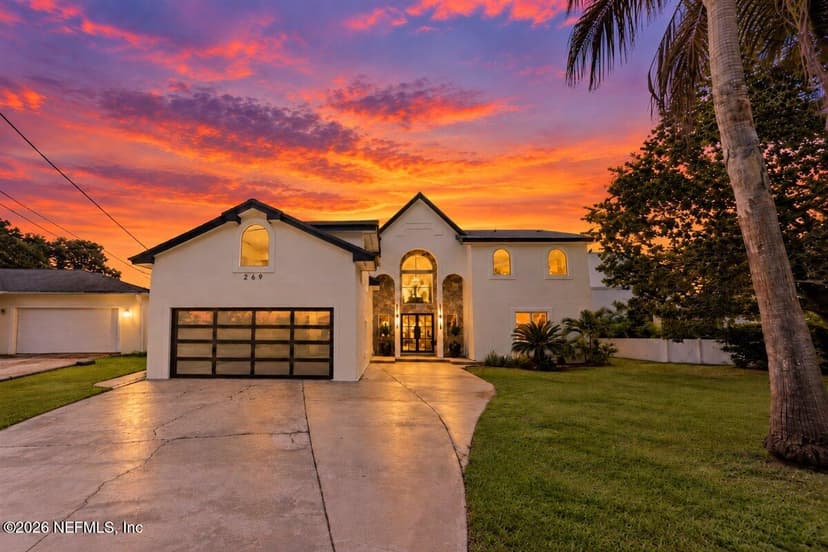
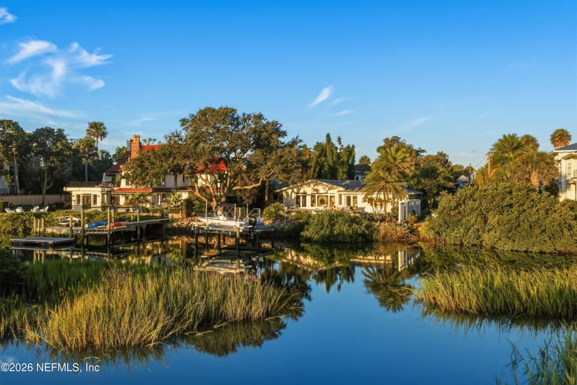
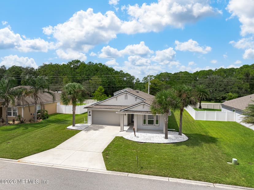
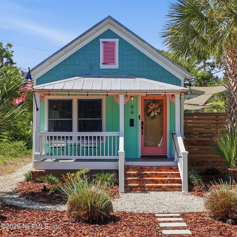
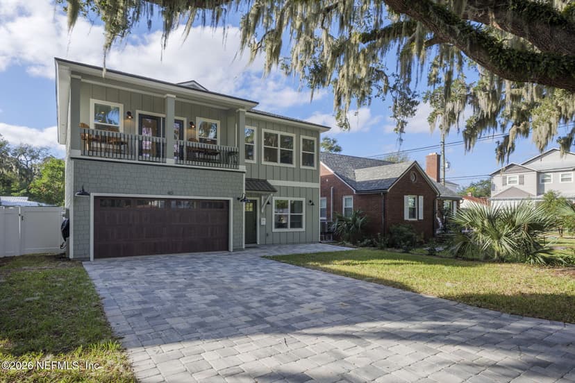
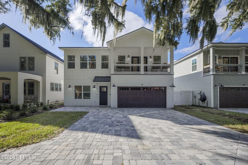
The newest listings, live from the MLS.
Parks & water near other areas
Nocatee · Ponte Vedra Beach · SilverLeaf · Julington Creek · World Golf Village · Southern St. Johns County · Jacksonville Beach · Mandarin · San Marco · eTown · Southside Jacksonville · Amelia Island · Yulee